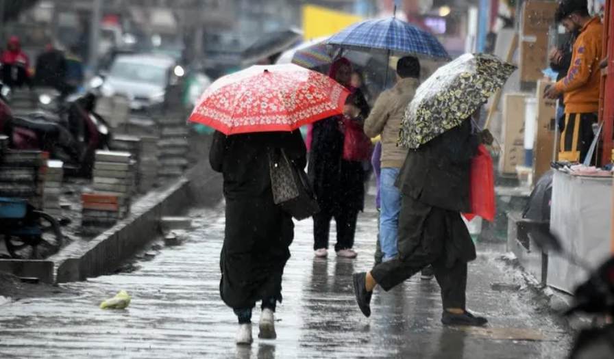
The Meteorological Department in Srinagar has forecasted light to moderate rain and snowfall across Jammu and Kashmir over the next 24 hours. The weather is expected to turn generally cloudy towards the evening today, with the possibility of rain and snow at various locations during the night and extending into the evening of February 20.
The higher reaches of the Jammu division may experience moderate to heavy rain and snow on February 20. The main weather activity is predicted to affect the Jammu region, Chenab Valley, and the higher reaches of south Kashmir. The plains of Jammu may witness light to moderate rain, along with thunder and gusty winds at scattered locations.
Meanwhile, the higher reaches of Chenab Valley and south Kashmir are likely to receive moderate snowfall, with a depth of 7 to 12 inches. The higher altitudes of north and central Kashmir may see 4 to 8 inches of snowfall during the period.
In the past 24 hours, the night temperatures in Jammu and Kashmir have increased by 1-2°C in various locations. The lowest minimum temperature recorded was in Gulmarg at -3.4°C, followed by Pahalgam at 1.7°C and Srinagar at 3.5°C. In Jammu division, Bhaderwah recorded a low of 2.6°C, and Banihal had a low of 3.5°C.
There was no precipitation observed in the past 24 hours. However, day temperatures have risen by 4-6°C across many areas of Jammu and Kashmir. The highest day temperatures were recorded in Kathua at 25.6°C and Jammu at 26.1°C. In the Kashmir Valley, day temperatures also rose by 5-6°C, with Srinagar reaching a maximum of 15.7°C and Kupwara recording 17.1°C on Tuesday.